Antarctica's Glaciers: Thwaites ‘Doomsday', Beardmore & More
Antarctica is Earth’s greatest ice realm, with roughly 98 percent of the continent’s land area swamped in ice. Here’s where the cryosphere, the planet’s frozen realm, attains its maximum extent, harkening back to deep-history days—big chunks of the Pleistocene, for example, or the more ancient “Snowball Earth” phase—when glacial ice prevailed across a much vaster portion of the globe.
In this article, we’ll consider the glaciers of Antarctica, mostly omitting discussion of the greatest Antarctic (and planetary) glaciers of all, the ice sheets, which get their own treatment here.
What is a Glacier?
A glacier forms after snow lasts long enough and piles deep enough to begin transforming into ice. The first step in the process is a denser, more compacted, more granular form of snow known as firn, which essentially describes snow that’s persisted for more than one year. Firn that continues to densify will eventually turn into ice, and ice that starts moving via gravity and under its own weight produces a glacier.
To create and maintain glaciers, roughly speaking, you need a climate that’s cold enough to allow snow to last, and wet enough to allow enough snow to pile up so much that it compacts into glacial ice, or a combination thereof.
Why Care About Glaciers?
Glaciers are important as geophysical agents for a multitude of reasons. For one thing, they are significant sculptors of terrain: The massive weight and grinding motion of their ice gouges out amphitheater basins (cirques), carves mountain horns and arétes, and widens and flattens river valleys into glacial troughs. Both ice motion and glacial meltwater help shape a whole host of other landforms, from mounds of glacial sediments (such as moraines, eskers, and kames) to ice-smoothed bedrock (in the form of, for example, drumlins).
Glaciers also store immense quantities of freshwater—indeed, they serve as reservoirs for the majority of freshwater on Earth, with nearly 70 percent of all the planet’s freshwater contained within the Greenland and Antarctic ice sheets. Close to two billion people on the globe rely on glaciers—such as the mountain glaciers of the Himalaya—for their primary sources of freshwater.
The underway global warming of climate change puts that hugely significant source of water at risk, with mountain glaciers melting in ranges around the world. Climate change also presents another stark threat: The immensity of freshwater stored in the continental ice sheets of Antarctica and Greenland would significantly raise sea levels if turned into meltwater. Antarctica accounts for the lion’s share of Earth’s glacial cover: some 85 percent or so by area and perhaps 90 percent by volume. If Antarctic ice sheets melted off completely, scientists reckon average global sea level could rise by nearly 60 meters (197 feet)—a catastrophic change for humanity.
Types of Glacier in Antarctica
At least some portion of Antarctica has likely been glaciated for some 50 million years. As Antarctica drifted southward into the polar zone, perennial snowfields likely developed that coalesced into mountain glaciers; these combined into ice caps, which, eventually, merged to form the mighty ice sheets that today cover most of the White Continent. It’s thought that some 14 or 15 million years ago, climatic cooling encouraged a significant expansion of the ice sheets and the commencement of today’s polar, ice-smothered conditions.
There’s quite the array of glacier varieties in the Antarctic region. Those giant ice sheets dominating the continent—the East Antarctic, West Antarctic, and Antarctic Peninsula ice sheets—are themselves a category of glacier: the largest kinds of glaciers on Earth, in fact, also known as continental glaciers. They’re drained by ice streams and outlet glaciers, which may empty directly into the ocean or feed into the floating, coastal extensions of inland glaciers known as ice shelves.
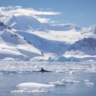
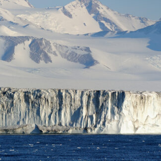
Occupying above-ice mountain ranges amid the Antarctic ice sheets, and also at and beyond their periphery, are various other sorts of glaciers: among them icefields, ice caps and their outlet glaciers, cirque glaciers, valley glaciers, tidewater glaciers, and ice-shelf tributary glaciers. And these types can overlap: Outlet glaciers can also be tidewater glaciers, for instance.
Although the majority of glacial margins in Antarctica are found along seacoasts and ice shelves, some abut the evocative, mostly snow- and ice-free pockets of the White Continent known as oases. For example, glacial snouts edge bare ground in places such as the Westfold and Bunger hills of East Antarctica and the remarkable McMurdo Dry Valleys within the Transantarctic Mountains.
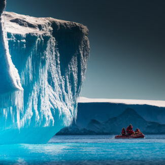
Chunks of ice breaking off tidewater glaciers—a process known as calving—as well as from ice shelves become the icebergs for which Antarctica is famous. (You can read all about icebergs here.)
Some Antarctic Glacier Stats
Because glacial ice is so extensive and interconnected in Antarctica, it’s often not easy defining (and thus counting and measuring) individual glaciers down here. The ice divides demarking outlet-glacier drainages of ice sheets tend to be subtle features, for example. And it’s not always clear whether to call a domed ice cap and its radiating drainages a single glacial body or break out the central cap and the drainages as separate glaciers.
How many glaciers in Antarctica? Well, given this very real challenge of separating out individual ice bodies in such an icy kingdom, that’s hard to pin down. Suffice it to say, a lot. A 2017 paper suggested that the peripheral Antarctic and sub-Antarctic islands alone account for 1,133 ice caps and 1,619 mountain glaciers, a tally that doesn’t count the Antarctic ice sheets and their associated mainland glaciers. There are thousands of individual glaciers in Antarctica that don’t even have names.
So the total tally of glaciers in Antarctica is elusive, OK—but what about some size statistics? A 2022 study published in the Journal of Glaciology ranked the “ice body” of the Antarctic Peninsula, at some 31,217 square miles (80,852 square kilometers) as the world’s largest glacier complex, not counting ice sheets (of which the East Antarctic Ice Sheet is, by a fair measure, the biggest). Often (as we noted above) considered its own ice sheet, that Antarctic Peninsula ice body has also been described as comprising 1,500-odd individual glaciers.
The second-biggest glacier complex, the study authors calculated, was another Antarctic feature: the 18,334-square-mile (47,486-square-kilometer) Alexander Island Glacier Complex, occupying Antarctica’s single largest island, set in the Bellingshausen Sea off the Antarctic Peninsula.
The third-largest glacier complex, by comparison, lies in southeastern Alaska according to this analysis: the 11,658-square-mile (30,195-square-kilometer) Malaspina-Seward Glacier Complex.
This Journal of Glaciology study also ranked the largest individual glaciers by area in the world, and the top five are all in the Antarctic realm:
-
- The Seller Glacier: 2,710 square miles (7,018 square km)
- The Thurston Island Glacier No. 1: 2,031 square miles (5,261 square km)
- The Alexander Island Glacier No. 1: 1,840 square miles (4,766 square km)
- The Alexander Glacier No. 2: 1,537 square miles (3,980 square km)
- The Mercator Ice Piedmont: 1,351 square miles (3,363 square km)
For orientation: The largest glacier in Antarctica and the world, the Seller Glacier, which feeds into the Forster Ice Piedmont, lies along the west coast of the Antarctic Peninsula. Thurston Island and its glaciers sit off the coast of Ellsworth Land, at the boundary of the Amundsen and Bellingshausen seas. We’ve already covered the location of Alexander Island. And the Mercator Ice Piedmont—an ice piedmont being a coastal flank of ice backed by mountains—heads the (goofily named) Mobiloil Inlet on the Graham Land seaboard.
What’s the biggest glacier outside of Antarctica? That would be (according to this first-of-its-kind study) the Malaspina-Seward Glacier at 1,298 square miles (3,363 square kilometers) of the aforementioned Southeast-Alaska glacial complex.
A Few Notable And/or Famous Glaciers in Antarctica
Biggest single glacier in the world though it may be, the Seller Glacier is actually on the obscure side of things when it comes to named Antarctic glaciers—partly a reflection of the vastness of the ice sheets, ice caps, and ice streams that populate the White Continent, overshadowing conventionally defined individual glaciers.
The following are some better-known or at least equally notable, for one reason or another, Antarctic glaciers—though, as we’ve hopefully already demonstrated, this is but a tiny, tiny sample of the White Continent’s ice bodies!
Thwaites—aka “Doomsday”—Glacier
The Thwaites Glacier in Antarctica is not only probably the most talked-about of White Continent glaciers, but at this point among the most talked-about in the world. Flowing into the Amundsen Sea’s remote Pine Island Bay, it’s one of the major outlet glaciers of the West Antarctic Ice Sheet, and, with the neighboring Pine Island Glacier, thought to be a critical brace against the ice sheet’s accelerated flow and resulting sea-level rise (which could be on the order of 10 or more feet). As early as 1981, glaciologist Terry Hughes called the Thwaites and Pine Island glaciers (in a then-controversial academic paper) the “weak underbelly” of the West Antarctic Ice Sheet.
Increased melting of the Thwaites as well as the Pine Island Glacier is already thought to be promoting a four to five percent increase in sea level, and fears of the Thwaites’s collapse—and the resulting effects of the West Antarctic Ice Sheet—have led to its ominous nickname: the “Doomsday Glacier.” A 2024 study suggested the retreat of the Thwaites may have begun decades earlier than originally envisioned: perhaps back in the 1940s, triggered by an El Niño climate pattern and then continued in runaway-train fashion by human-caused global warming.
Beardmore Glacier
The Beardmore Glacier is one of the world’s largest valley glaciers, dividing the Transantarctic Mountains into the Queen Maud and Queen Alexandra ranges. Ernest Shackleton’s 1908-1909 expedition first discovered and traversed the Beardmore Glacier to access the polar plateau while attempting to reach the South Pole–indeed, it was Shackleton who named the glacier after his patron, William Beardmore, who funded the expedition.
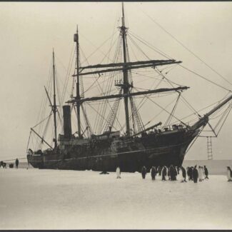
However it was Robert Falcon Scott and his later 1911-1912 Terra Nova expedition who used the same route that brought the glacier to both infamy and fame. Scott’s entire team were to meet their demise upon their return from the successful reaching of the South Pole (but having been pipped by Roald Amundsen), and it was Petty Officer Edgar Evans who was the first to perish at the glacier’s base.
However on their bodies had been several fossils collected from the Beardmore Glacier which subsequently yielded important geological evidence that Antarctica had once had a temperate climate. Additionally, studies of the upper Beardmore Glacier region have provided insights into the Paleozoic era and the tectonic evolution of the Transantarctic Mountains themselves.
Taylor Glacier
Taylor Glacier is one of the great ice bodies of the McMurdo Dry Valleys, otherwise unusually (for Antarctica) barren of snow and ice because of precipitation-shadowing by the Transantarctic peaks that enfold them and because of the ferocious, drying katabatic winds that sweep down them.
An outlet glacier of the East Antarctic Ice Sheet that’s partly fed by the local ice dome called the Taylor Dome, Taylor Glacier is predominantly a cold-based glacier—that is, one whose base is frozen to the underlying ground—and its snout presents a sharp, ice-cliffed facade typical of the Dry Valleys.
Draining into the Taylor Valley above the frozen Lake Bonney, Taylor Glacier is probably best-known for the red-colored brine—Blood Falls—that stains part of its snout and adjoining moraine. The brine issues from a salty aquifer underneath Taylor Glacier, thought to derive from salt deposits of a long-ago inland sea.
Minnesota Glacier
The Minnesota Glacier is worth mentioning here on account it helps define the boundary between the two subranges of Antarctica’s loftiest mountain range, the roughly 220-mile-long (354-km) Ellsworth Mountains.
To the north of the east-flowing Minnesota Glacier rises the Sentinel Range, the highest part of the Ellsworth Mountains and of the White Continent, topping out with 16,066-foot (4,897-meter) Mount Vinson; while southward the substantially lower Heritage Range stretches, dribbling out into the Marble, Independence, and Patriot hills.
Mertz Glacier
The Mertz Glacier, Antarctica is an outlet glacier of the East Antarctic Ice Sheet that empties along the George V Coast between Capes Hurley and de la Motte. Its terminus forms an impressive ice peninsula out into the Dumont d’Urville Sea: the Mertz Glacial Tongue.
In 2010, that feature experienced a major calving event when an iceberg collided with it, breaking off roughly half of the then-62-mile-long (100-km-long) Mertz Glacial Tongue to produce, in turn, a roughly 965-square-mile (2,500-square-kilometer) berg. That big breakoff apparently separated into two a large colony of emperor penguins on associated fast ice and may have influenced coastal circulation patterns.
How to See Glaciers in Antarctica
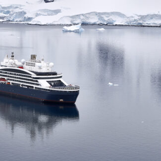
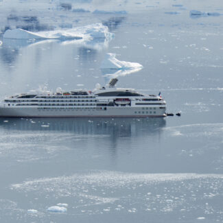
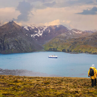
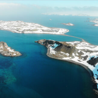
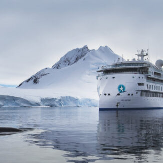
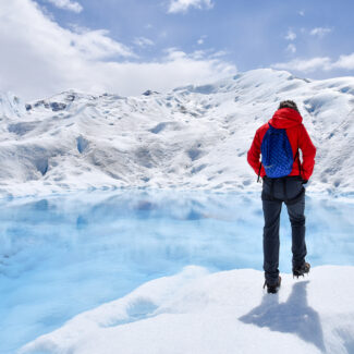
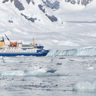
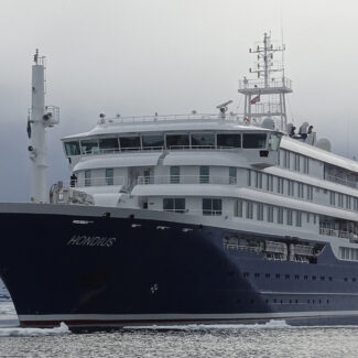
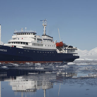
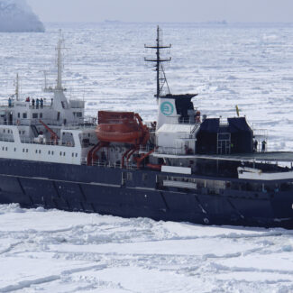
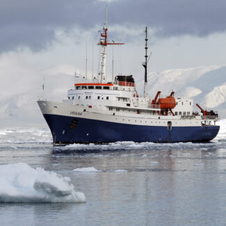
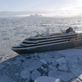
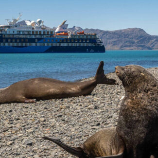
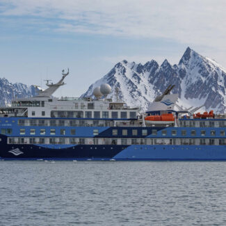
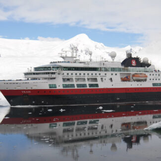
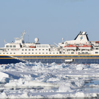
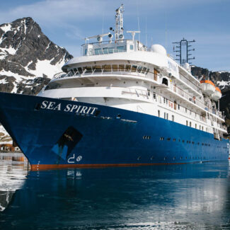
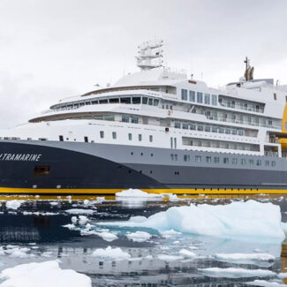
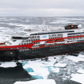
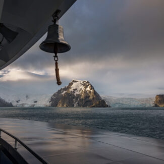
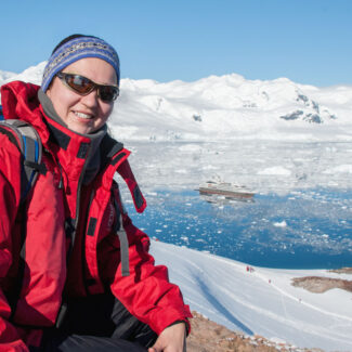
Any visitor to Antarctica gets to see glaciers in one form or another. Cruisegoers along the Antarctic Peninsula, the most-visited sector of the White Continent, have plenty of opportunity to admire its mountain, tidewater, and outlet glaciers: fundamental parts of the glorious summit-to-bay scenery.
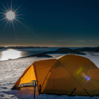
And tourists flying into Union Glacier Camp in the Ellsworth Mountains get to literally bed down on a gloriously remote Antarctic glacier in the White Continent’s interior—once-in-a-lifetime stuff!
Disclaimer
Our travel guides are for informational purposes only. While we aim to provide accurate and up-to-date information, Antarctica Cruises makes no representations as to the accuracy or completeness of any information in our guides or found by following any link on this site.
Antarctica Cruises cannot and will not accept responsibility for any omissions or inaccuracies, or for any consequences arising therefrom, including any losses, injuries, or damages resulting from the display or use of this information.
